Application evaluation
Civil UAVs
1,500 m of ranging for 10 grams of payload.
Altimetry and forward ranging are two different sensors’ jobs.
“Laser ranging on a drone” is two jobs that pull module selection in opposite directions. Altimetry — ranging straight down for altitude hold and terrain following — needs frequent readings against a diffuse, constantly changing surface at short to medium range. Forward ranging from a stabilized gimbal needs reach, a tight beam, and the ability to trade update rate for distance as the target recedes. Both are governed by the same constraint: every gram is contested against flight time.
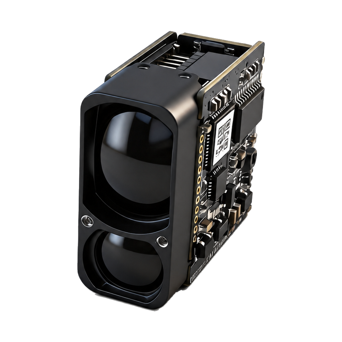
LR1500E2 is sized for the forward job. Its catalog range is 4–1,500 m; the factory sheet also lists 1,800 m at night under 10 km visibility conditions, which is a source-stated figure rather than a guaranteed range. It weighs ≤ 10 g in a 25.65 × 13.2 × 24.6 mm body, runs on 3.3–5 V at about 1 W (roughly 0.4 W short-range, 0.2 W standby, under 1 mW asleep), and starts up in ≤ 200 ms. Divergence is < 6 mrad — a small spot, which is what keeps energy on a discrete target rather than spreading it across a field.
Its measurement frequency is 2–10 Hz adaptive, and adaptive is the operative word for a flight-control integration. As range or target difficulty increases the module stretches its per-shot integration time to protect the valid measurement rate — it trades frequency for confidence rather than handing your controller a fast number it should not trust. You get that behavior without writing any logic on the host side, but you have to design the loop around a variable rate, not a fixed one.
The accuracy line is banded and worth reading in full: δ ≤ ±1 m from 6 to 500 m, then ±50 cm + d·1‰ from 500 to 1,000 m. Compute it at your longest working distance before you size the error budget for a geolocation or a hold.
Two things will cost you range in flight that no datasheet condition captures. First, orientation: a nadir-pointing module measures grass, gravel, water and crop canopy, all of which return far less light than the building-class target the long-range figures are quoted against — budget below the catalog numbers and validate over your actual terrain. Second, the aircraft’s own handling of an unavailable reading. A candidate ranging module does not establish suitability for a flight-control function; how your controller behaves when the module reports no valid return is your design, and it is the first thing we will ask about.
Environmental: the LR1500E2 lens cavity is IP67 — the cavity, not your gimbal shell — operating −20 to +55 °C (−40 °C on a custom build), storage −40 to +60 °C, MTBF stated at ≥ 1,500 h. Laser safety reads IEC Class 1, declared in the model manual, with the finished-aircraft assessment separate.
Check shock and vibration against your installation.
The LR1500E2 factory sheet lists shock resistance of 1000 g/ms (10 times/s along the optical axis) and vibration resistance of 5–50–5 Hz, 1 octave/min, 2.5 g. These are model-specific source declarations and do not establish your assembled system’s suitability. Share your mounting and expected vibration spectrum so the supplied configuration can be reviewed.
01Mass, then reach — in that order+
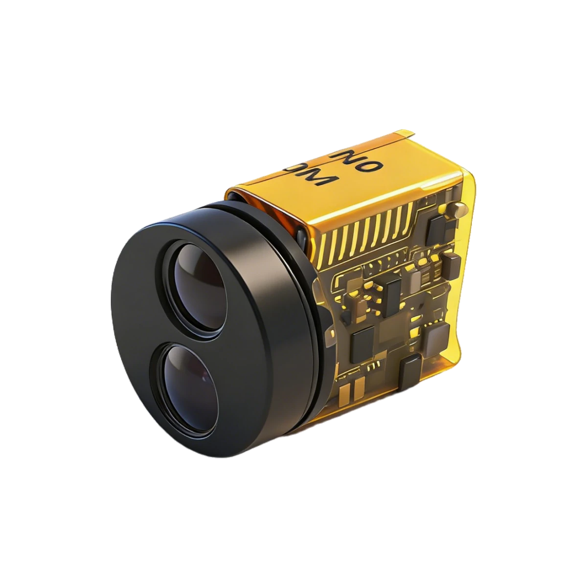
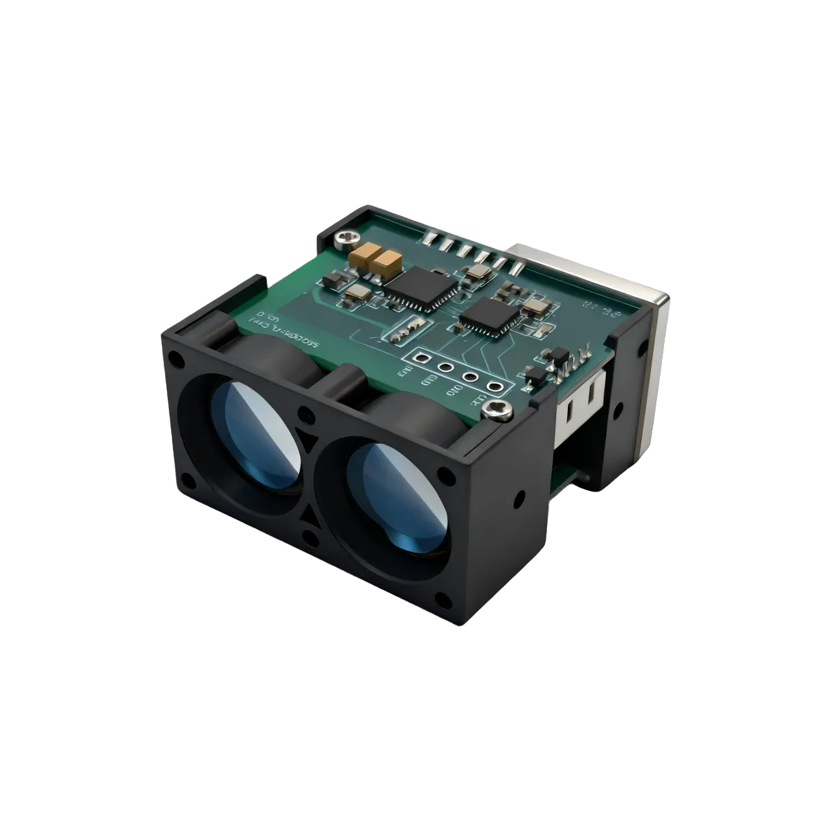
LR1500E2 gives 1,500 m at ≤ 10 g. If your payload budget is tighter, SPD1200N0 is ≈ 5 g for 0.2–1,200 m; if the mission needs more reach, LRF3000A1 is 12 ± 0.5 g for ≥ 3,000 m. All three list UART-TTL, but their supply, pinout, commands and output format must be checked for the exact model and supplied revision.
02When you need attitude with the distance+
Geolocating a ground target needs roll, pitch and yaw at the same instant as the range. SPD1200S2G puts a gyroscope in the ranging module (0.1–1,200 m, IP67 lens cavity; size, weight and update rate differ between its technical table and user manual, so confirm them per delivery batch), so the documented attitude and range functions can be evaluated together. A shared measurement timestamp or synchronized sampling is not established by the available source. Protocol transcription is available, but source conflicts and the supplied configuration must be confirmed before selecting commands or relying on attitude/range synchronization.
03What we need from you+
Mounting orientation, expected vibration spectrum, daylight condition, required update rate, and how the flight controller handles an unavailable reading. Those five turn a catalog match into a real recommendation.
From the module to the host.
LR E series · UART-TTL
One UART-TTL line at 115200 bps to the flight controller.
Check the supply, signal levels, pinout and output format for the exact model and revision. Request any missing detail before connecting your hardware.
LR1500E2Related application pages
Share the model and distance for a technical review.
Share the distance, object surface, interface, space constraints and quantity. Include a model number if you already have one in mind.
Drone altimetry and obstacle sensing with laser modules · 905 nm vs 1535 nm: when 1535 nm is the right call instead · The Pixhawk/ArduPilot wiring walkthrough
Confirm the current datasheet and laser safety documentation for the specific model and revision. Final suitability depends on your complete device and its operating conditions.
Altimeter module shortlist
Prices, minimum range and the reflectance condition behind each range figure: laser rangefinder modules for drone altimeters.